|
|
|
|
|
This page last updated March 8, 2024 |
Below are historical photos of US 281 North between Loop 1604 and Marshall Rd. along with a brief history of the route. These photos are from 2002 and 2005, which is prior to construction of the "superstreet" which preceeded the freeway. The photos were sourced from the San Antonio TxDOT district office and this website's author.
Locations are given using the present-day roadway names. The photos are arranged generally from south to north. Click on each photo for an enlarged view.
Click here to return to the historical photo galleries page.
|
ADVERTISEMENT |
Route history

Today, this section of US 281 is part of a seamless freeway running from downtown San Antonio all the way to the Comal county line. But it wasn't always that way, and getting a freeway along this stretch was a long and contentious road (pun intended.)
In 1990, TxDOT completed work to upgrade 281 from a four-lane divided surface highway to a six-lane freeway from Bitters Rd. to Loop 1604. North of 1604, which was almost entirely rural at the time, the road remained as a four-lane surface divided highway with the only traffic signals at that time being at Encino Rio.
With the growth of Stone Oak and Encino Park, and with other planned developments in the area, TxDOT announced plans in 2000 to extend the six-lane freeway from Loop 1604 to Stone Oak Parkway and to build a standalone overpass at Borgfeld, with long-term plans to extend the freeway in phases all the way to FM 306 at the Comal/Blanco county line. However, due to severe funding shortages that developed suddenly in the early 2000s, the Texas Transportation Commission directed TxDOT to use tolling to fund new freeway projects wherever possible, so this project was changed to include tolled mainlanes with non-tolled access roads. This sparked a long battle with toll road opponents that delayed the project multiple times for the better part of two decades.
In 2005, TxDOT accepted an unsolicited bid from a construction consortium of Zachary Construction and Spanish firm Cintra to build the 281 toll project at no upfront cost to the state. However, that project was cancelled shortly after work began due to a legal challenge that raised issues with the environmental clearances for the project.
With the freeway project on hold for an unknown amount of time, and with congestion along 281 north of Loop 1604 reaching severe levels, local engineering firm Pape-Dawson proposed a temporary fix for 281 in the form of a "superstreet" from Encino Rio to Marshall. Modeling showed that a superstreet would help ease congestion moderately while the freeway plans and associated legal battles were worked-out. The superstreet was completed in 2010 and did provide some relief.
New tollway plans were presented to the public in 2014. But during its 2013 and 2015 sessions, the Texas Legislature passed new funding sources for transportation (known as Prop 1 and Prop 7) which were subsequently approved by voters. Local officials subsequently approved using San Antonio's share of the revenue from the new funding sources to pay for the US 281 project without using tolls, and in May 2016, TxDOT released what would become the final plans for the freeway project. Work started on Phase 1 in 2017 and was completed in 2021. Phase 2 started in 2019 and was completed in 2023.
More details on the history of US 281 is available here.
|
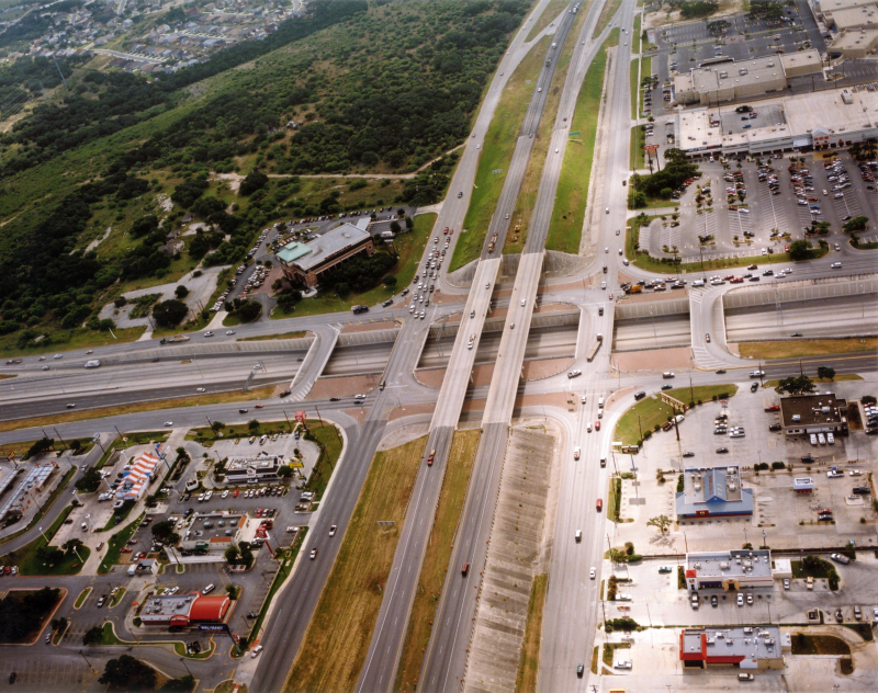
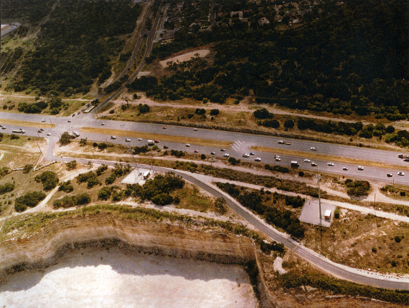
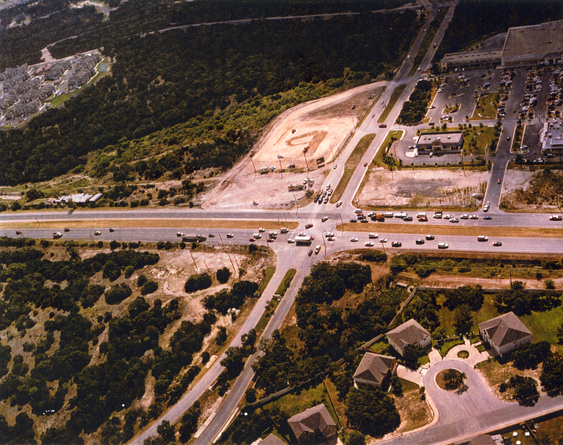
Loop 1604 at US 281 looking east (2002) This was about a decade before the first phase of the five-level interchange was built. (TxDOT) |
|
Loop 1604 at US 281 looking east (2002) This was about a decade before the first phase of the five-level interchange was built. (TxDOT) |
|
|
|
|
|
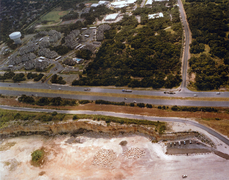
US 281 at Sonterra Blvd. looking east (2002) Sonterra Blvd. ended just east of 281 at this time. (TxDOT) |
|
US 281 at Sonterra Blvd. looking east (2002) Sonterra Blvd. ended just east of 281 at this time. (TxDOT) |
|
|
|
|
|
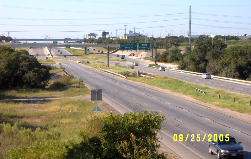
US 281 at Sonterra Blvd. looking north (2005) Notice the end of the frontage road. (Brian Purcell) |
|
US 281 at Sonterra Blvd. looking north (2005) Notice the end of the frontage road. (Brian Purcell) |
|
|
|
|
|
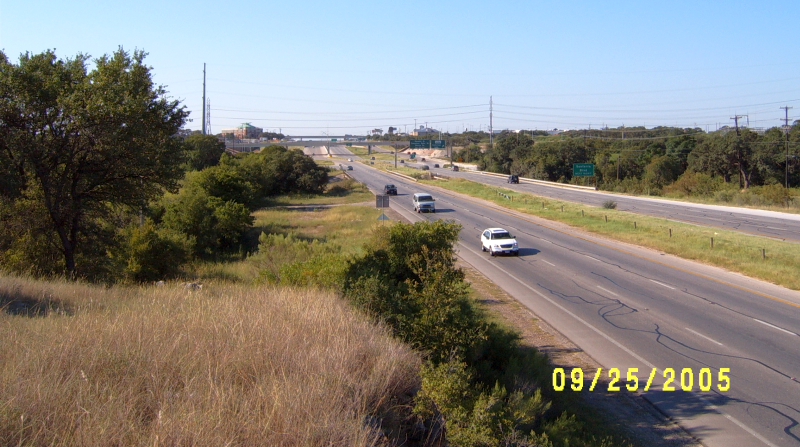
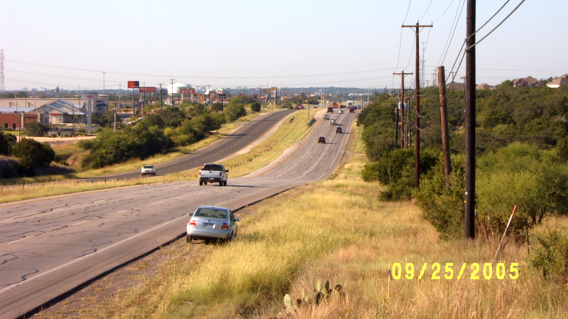
US 281 at Sonterra Blvd. looking north (2005) This is where the freeway ended and US 281 became a regular divided highway. (Brian Purcell) |
|
US 281 at Sonterra Blvd. looking north (2005) This is where the freeway ended and US 281 became a regular divided highway. (Brian Purcell) |
|
|
|
|
|
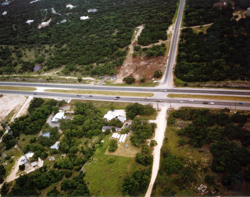
US 281 at Redland Rd. looking east (2002) (TxDOT) |
|
US 281 at Redland Rd. looking east (2002) (TxDOT) |
|
|
|
|
|
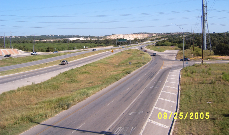
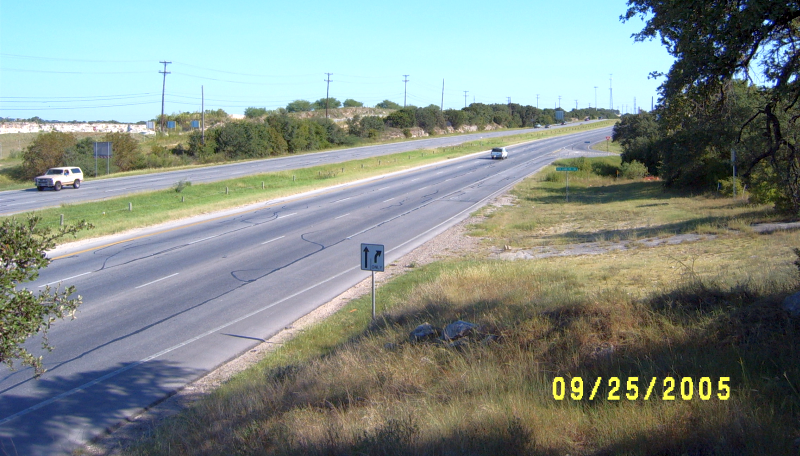
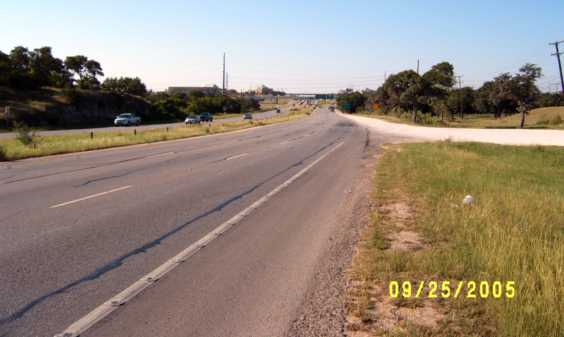
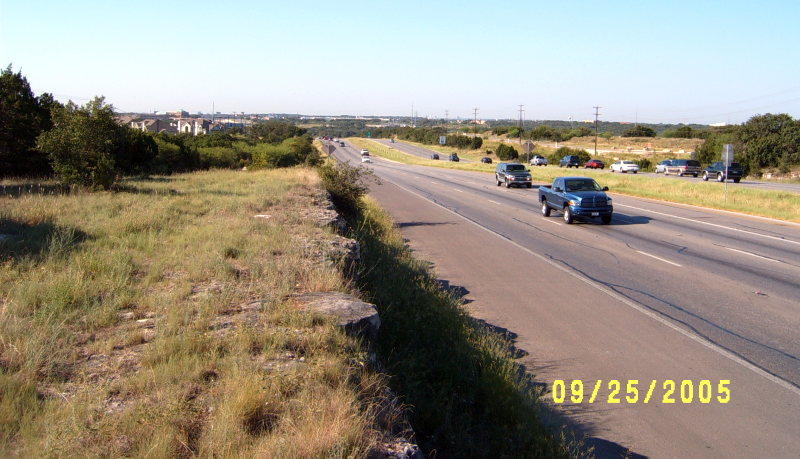
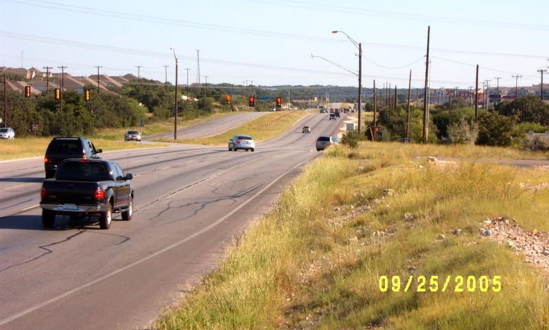
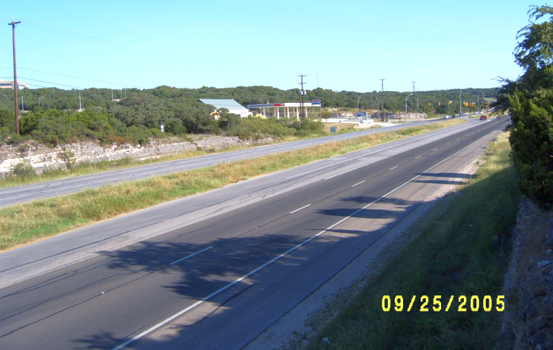
US 281 south of Redland Rd. looking south (2005) (Brian Purcell) |
|
US 281 south of Redland Rd. looking south (2005) (Brian Purcell) |
|
|
|
|
|
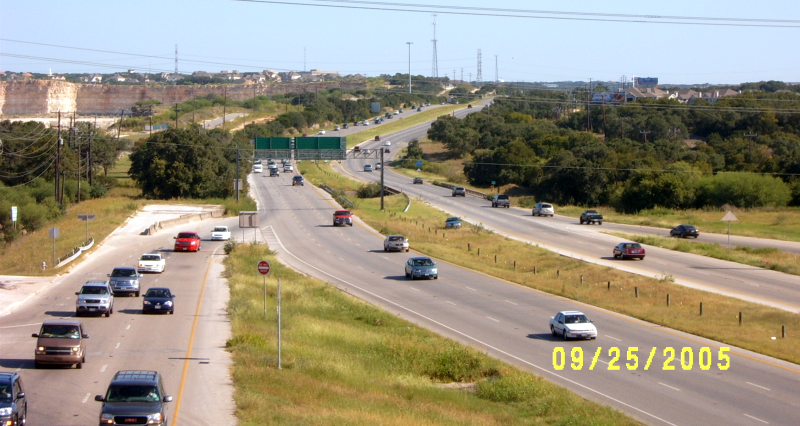
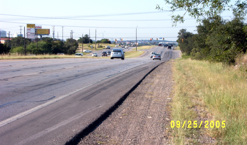
US 281 south of Redland Rd. looking south (2005) Zoomed-in view at same location as the previous photo. This is where the freeway began heading south. (Brian Purcell) |
|
US 281 south of Redland Rd. looking south (2005) Zoomed-in view at same location as the previous photo. This is where the freeway began heading south. (Brian Purcell) |
|
|
|
|
|
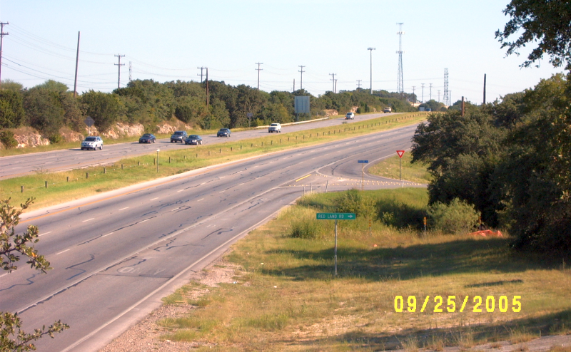
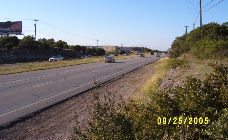
US 281 at Redland Rd. looking north (2005) (Brian Purcell) |
|
US 281 at Redland Rd. looking north (2005) (Brian Purcell) |
|
|
|
|
|
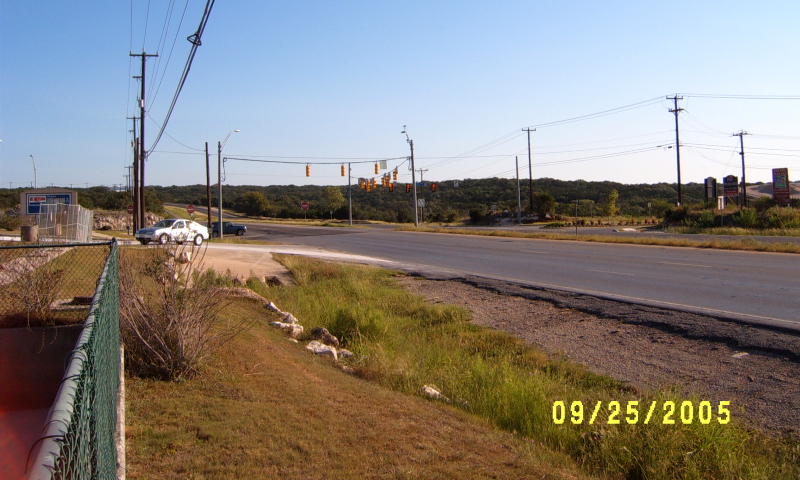
US 281 at Redland Rd. looking north (2005) Zoomed-in view at same location as previous photo. Redland Rd. was a "right-in/right-out" intersection at this time. (Brian Purcell) |
|
US 281 at Redland Rd. looking north (2005) Zoomed-in view at same location as previous photo. Redland Rd. was a "right-in/right-out" intersection at this time. (Brian Purcell) |
|
|
|
|
|
US 281 at Redland Rd. looking south (2005) (Brian Purcell) |
|
US 281 at Redland Rd. looking south (2005) (Brian Purcell) |
|
|
|
|
|
US 281 at Redland Rd. looking north (2005) (Brian Purcell) |
|
US 281 at Redland Rd. looking north (2005) (Brian Purcell) |
|
|
|
|
|
US 281 at Redland Rd. looking northeast (2005) (Brian Purcell) |
|
US 281 at Redland Rd. looking northeast (2005) (Brian Purcell) |
|
|
|
|
|
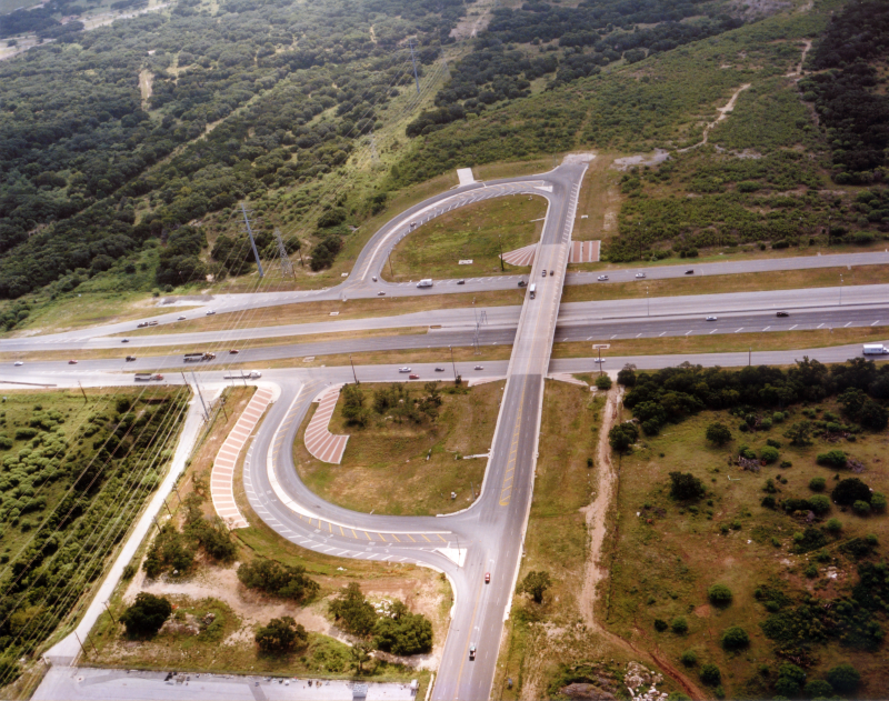
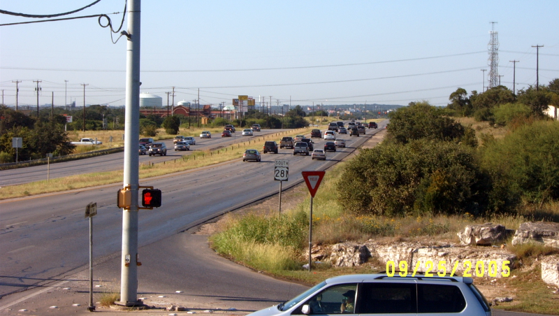
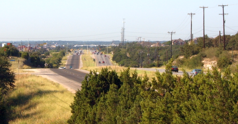
US 281 at Encino Rio looking east (2002) The turnaround at the center was for traffic coming from Redland Rd. to head south. (TxDOT) |
|
US 281 at Encino Rio looking east (2002) The turnaround at the center was for traffic coming from Redland Rd. to head south. (TxDOT) |
|
|
|
|
|
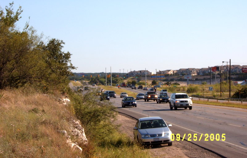
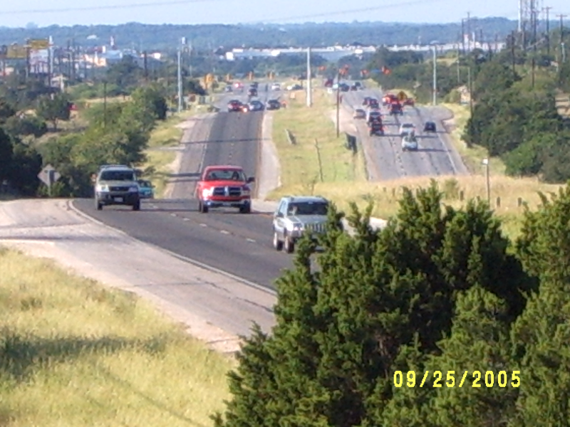
US 281 south of Encino Rio looking south (2005) (Brian Purcell) |
|
US 281 south of Encino Rio looking south (2005) (Brian Purcell) |
|
|
|
|
|
US 281 south of Encino Rio looking south (2005) Zoomed-in view at same location as the previous photo. (Brian Purcell) |
|
US 281 south of Encino Rio looking south (2005) Zoomed-in view at same location as the previous photo. (Brian Purcell) |
|
|
|
|
|
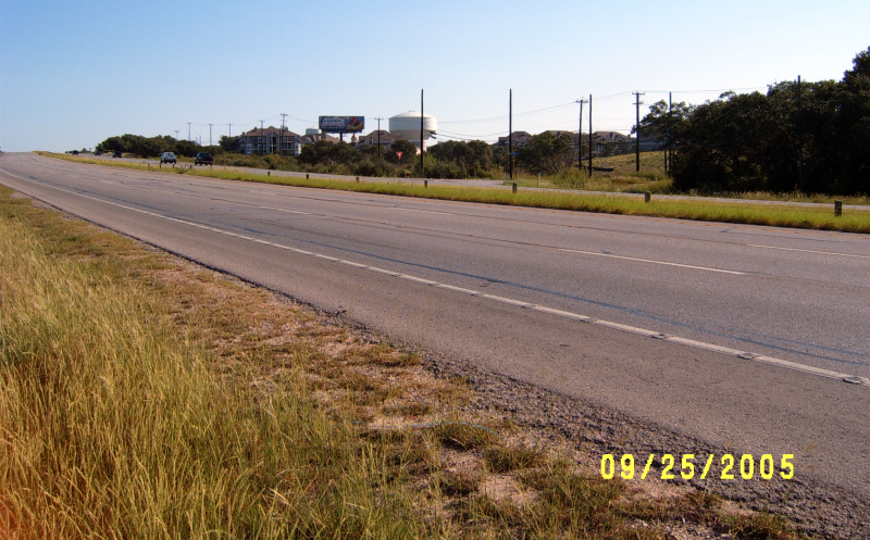
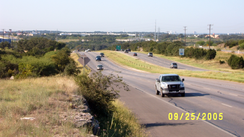
US 281 south of Encino Rio looking north (2005) (Brian Purcell) |
|
US 281 south of Encino Rio looking north (2005) (Brian Purcell) |
|
|
|
|
|
US 281 south of Encino Rio looking north (2005) Zoomed-in view at same location as the previous photo. (Brian Purcell) |
|
US 281 south of Encino Rio looking north (2005) Zoomed-in view at same location as the previous photo. (Brian Purcell) |
|
|
|
|
|
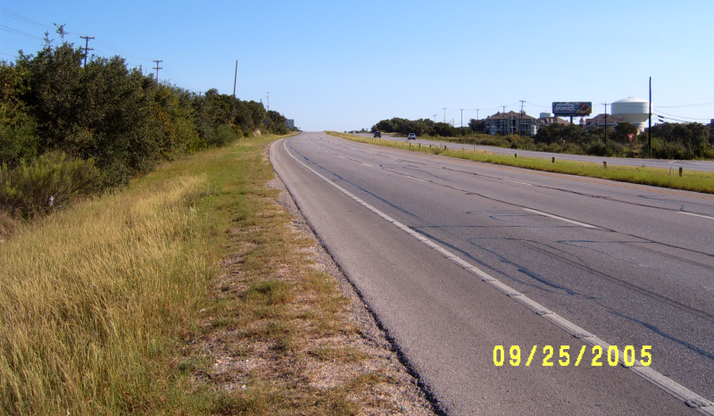
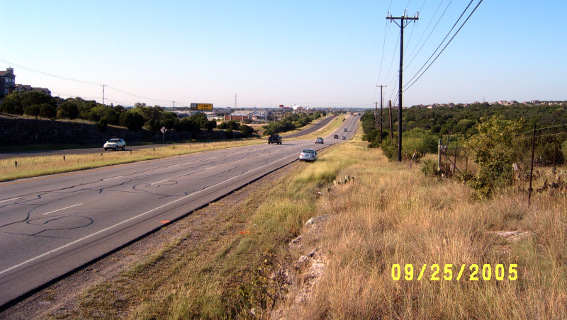
US 281 north of Encino Rio looking south (2005) (Brian Purcell) |
|
US 281 north of Encino Rio looking south (2005) (Brian Purcell) |
|
|
|
|
|
US 281 at Evans Rd. looking east (2002) (TxDOT) |
|
US 281 at Evans Rd. looking east (2002) (TxDOT) |
|
|
|
|
|
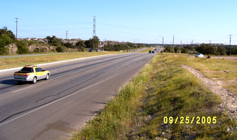
US 281 south of Evans Rd. looking north (2005) (Brian Purcell) |
|
US 281 south of Evans Rd. looking north (2005) (Brian Purcell) |
|
|
|
|
|
US 281 south of Evans Rd. looking north (2005) (Brian Purcell) |
|
US 281 south of Evans Rd. looking north (2005) (Brian Purcell) |
|
|
|
|
|
US 281 at Evans Rd. looking south (2005) (Brian Purcell) |
|
US 281 at Evans Rd. looking south (2005) (Brian Purcell) |
|
|
|
|
|
US 281 at Evans Rd. looking north (2005) (Brian Purcell) |
|
US 281 at Evans Rd. looking north (2005) (Brian Purcell) |
|
|
|
|
|
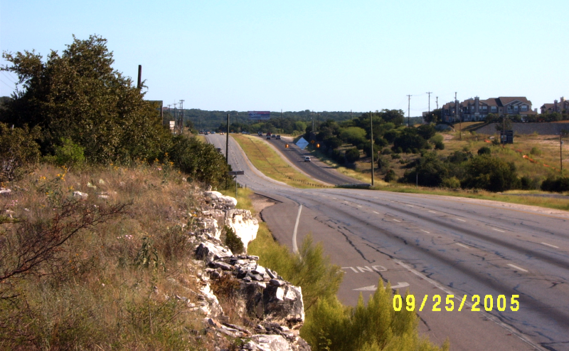
US 281 north of Evans Rd. looking south (2005) (Brian Purcell) |
|
US 281 north of Evans Rd. looking south (2005) (Brian Purcell) |
|
|
|
|
|
US 281 north of Evans Rd. looking south (2005) Zoomed-in view at same location as the previous photo. (Brian Purcell) |
|
US 281 north of Evans Rd. looking south (2005) Zoomed-in view at same location as the previous photo. (Brian Purcell) |
|
|
|
|
|
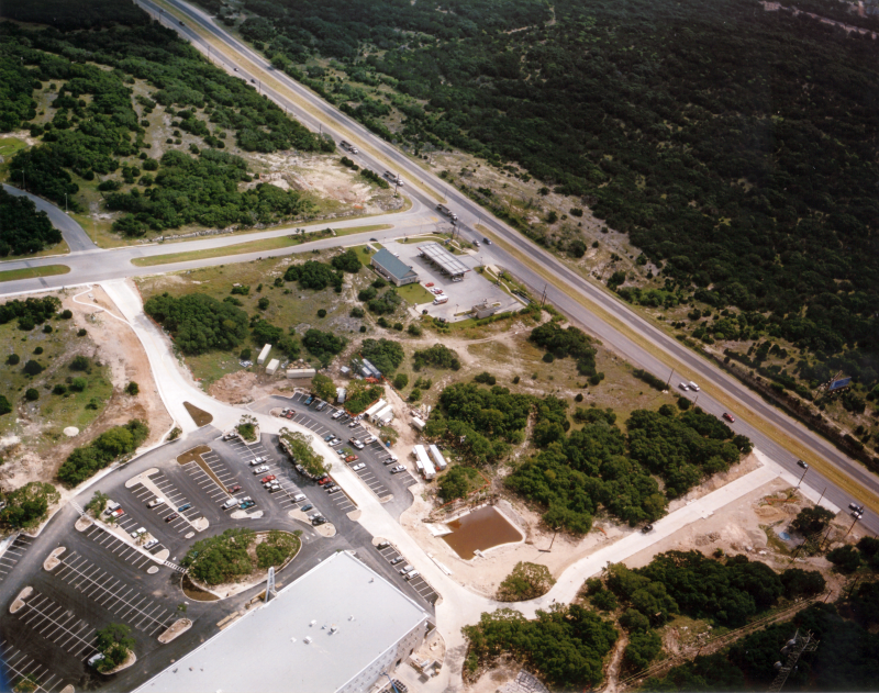
US 281 at Stone Oak Pkwy. looking east (2002) This was prior to TPC Pkwy. being constructed. (TxDOT) |
|
US 281 at Stone Oak Pkwy. looking east (2002) This was prior to TPC Pkwy. being constructed. (TxDOT) |
|
|
|
|
|
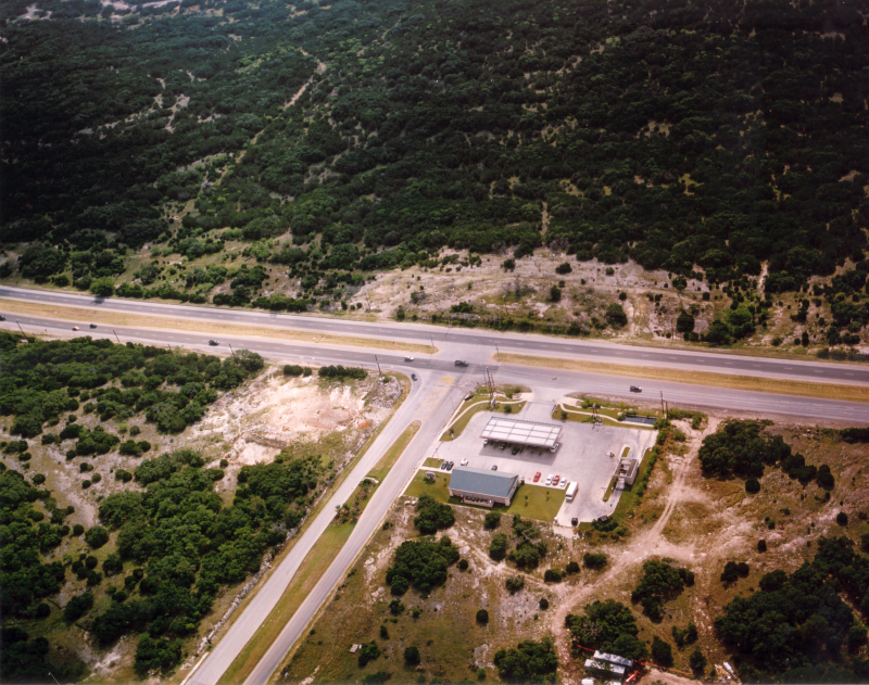
US 281 at Stone Oak Pkwy. looking northeast (2002) The Stone Oak Park & Ride now sits at the center right of this photo. (TxDOT) |
|
US 281 at Stone Oak Pkwy. looking northeast (2002) The Stone Oak Park & Ride now sits at the center right of this photo. (TxDOT) |
|
|
|
|
|
US 281 south of Stone Oak Pkwy. looking south (2005) (Brian Purcell) |
|
US 281 south of Stone Oak Pkwy. looking south (2005) (Brian Purcell) |
|
|
|
|
|
US 281 south of Stone Oak Pkwy. looking south (2005) (Brian Purcell) |
|
US 281 south of Stone Oak Pkwy. looking south (2005) (Brian Purcell) |
|
|
|
|
|
US 281 south of Stone Oak Pkwy. looking south (2005) Zoomed-in view at same location as the previous photo. (Brian Purcell) |
|
US 281 south of Stone Oak Pkwy. looking south (2005) Zoomed-in view at same location as the previous photo. (Brian Purcell) |
|
|
|
|
|
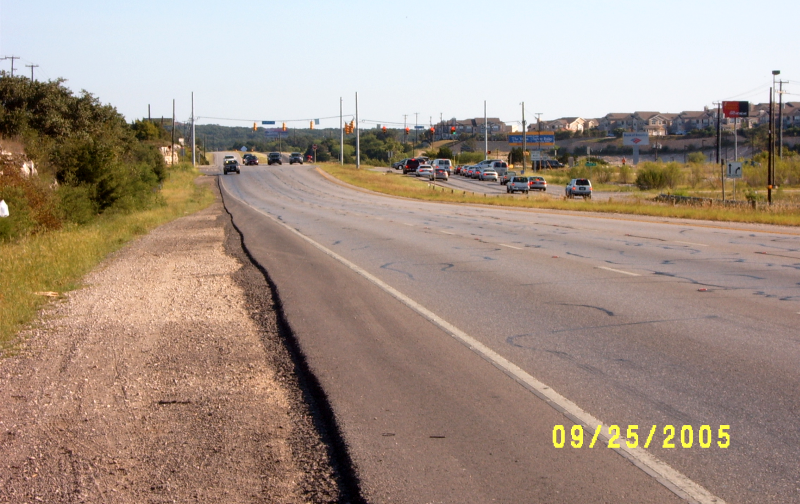
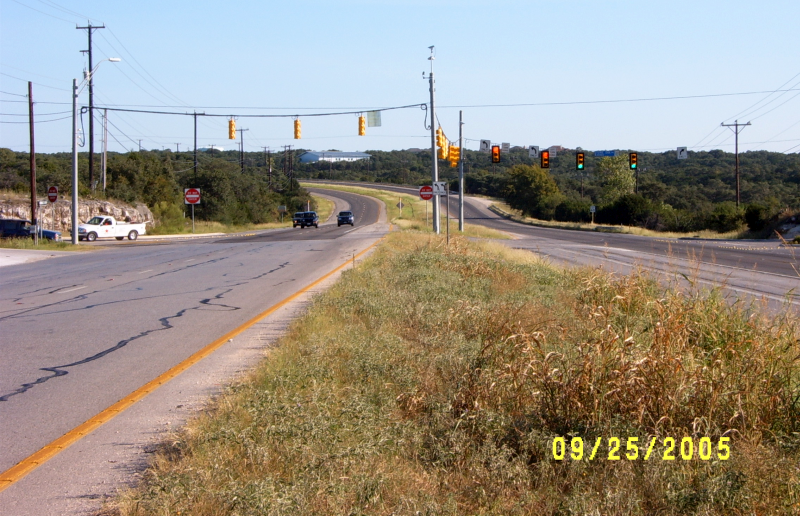
US 281 south of Stone Oak Pkwy. looking north (2005) (Brian Purcell) |
|
US 281 south of Stone Oak Pkwy. looking north (2005) (Brian Purcell) |
|
|
|
|
|
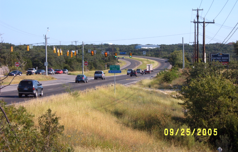
US 281 at Stone Oak Pkwy. looking north (2005) TPC Pkwy. had been opened by this time. (Brian Purcell) |
|
US 281 at Stone Oak Pkwy. looking north (2005) TPC Pkwy. had been opened by this time. (Brian Purcell) |
|
|
|
|
|
US 281 at Stone Oak Pkwy. looking north (2005) (Brian Purcell) |
|
US 281 at Stone Oak Pkwy. looking north (2005) (Brian Purcell) |
|
|
|
|
|
US 281 at Stone Oak Pkwy. looking north (2005) (Brian Purcell) |
|
US 281 at Stone Oak Pkwy. looking north (2005) (Brian Purcell) |
|
|
|
|
|
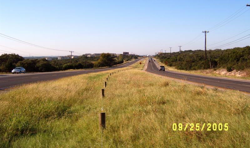
US 281 north of Stone Oak Pkwy. looking south (2005) (Brian Purcell) |
|
US 281 north of Stone Oak Pkwy. looking south (2005) (Brian Purcell) |
|
|
|
|
|
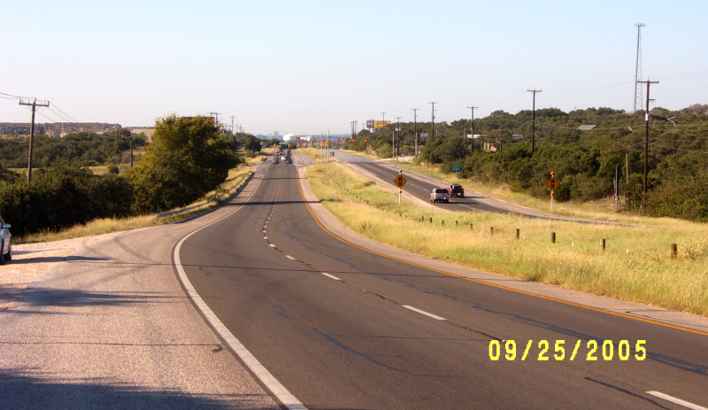
US 281 north of Stone Oak Pkwy. looking south (2005) (Brian Purcell) |
|
US 281 north of Stone Oak Pkwy. looking south (2005) (Brian Purcell) |
|
|
|
|
|
US 281 at Marshall Rd. looking east (2002) (TxDOT) |
|
US 281 at Marshall Rd. looking east (2002) (TxDOT) |
|
|
|
|
|
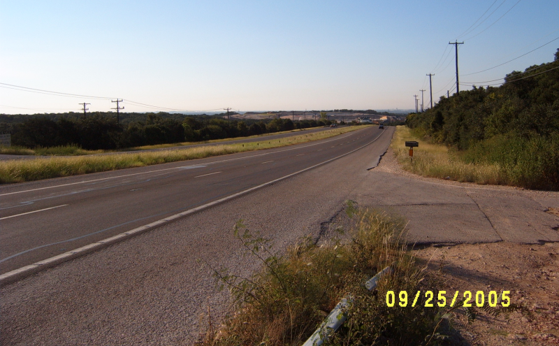
US 281 south of Marshall Rd. looking south (2005) (Brian Purcell) |
|
US 281 south of Marshall Rd. looking south (2005) (Brian Purcell) |
|
|
|
|